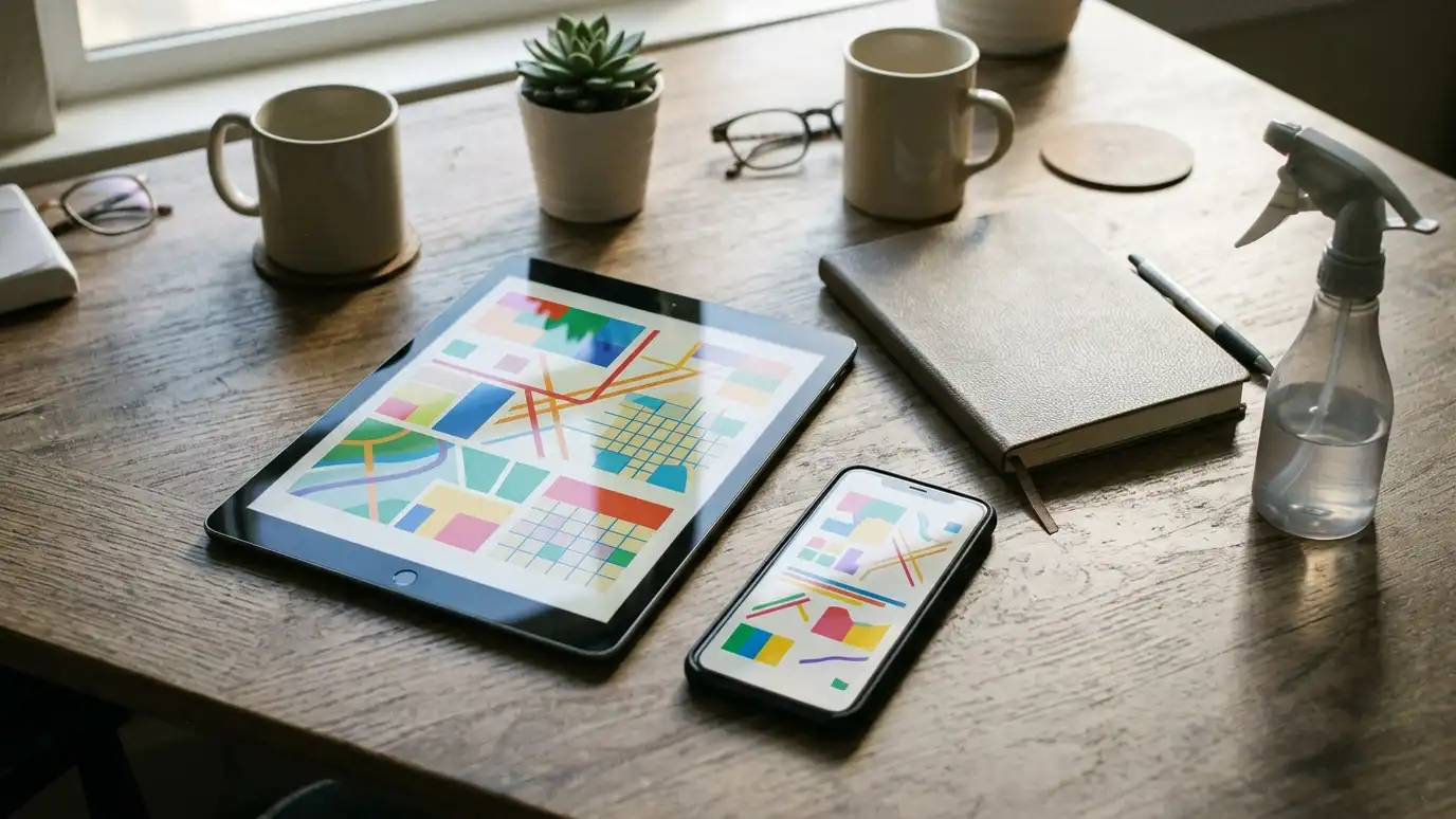
A mapping tool with satellite and aerial imagery that owners can use to view their property and measure areas.
Google Earth describes itself as a tool for exploring satellite and aerial imagery of places around the world, with measuring tools. Owners in Nashville can use it to look at their own property from above, estimate the size of a driveway or patio and see how trees and buildings shade a lot. That kind of view helps owners prepare for an estimate and understand why shade matters to algae and mildew.
We are an independent company and are not affiliated with Google. We are glad when owners bring rough measurements from an aerial view, and we confirm exact sizes on site. A quick look from above also shows where shade, trees and drainage create more growth, which helps us plan the cleaning method and the best schedule.
Visit the official Google Earth website
Satellite and aerial views of places.
Estimate distances and areas.
Shows how trees affect a lot.
Helps owners prepare for estimates.
Available to anyone with a device.
Compare with on-site measurements.
Size an area, check a schedule or ballpark a budget.
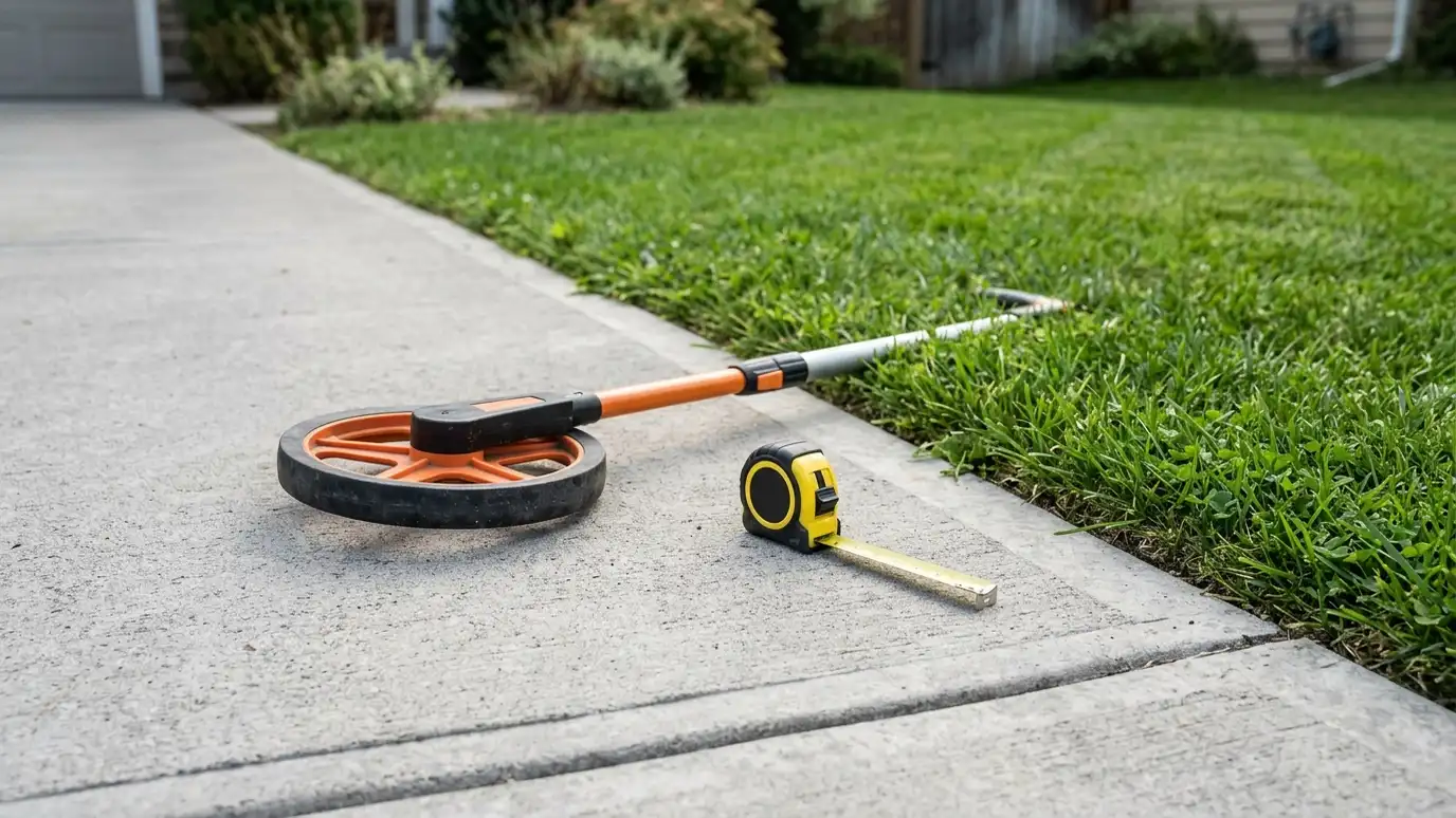 Pressure Washing Area and Materials CalculatorEnter your measurements to see area, water, solution, sealer and time to plan for houses, flatwork, decks, fences and roofs.Try it
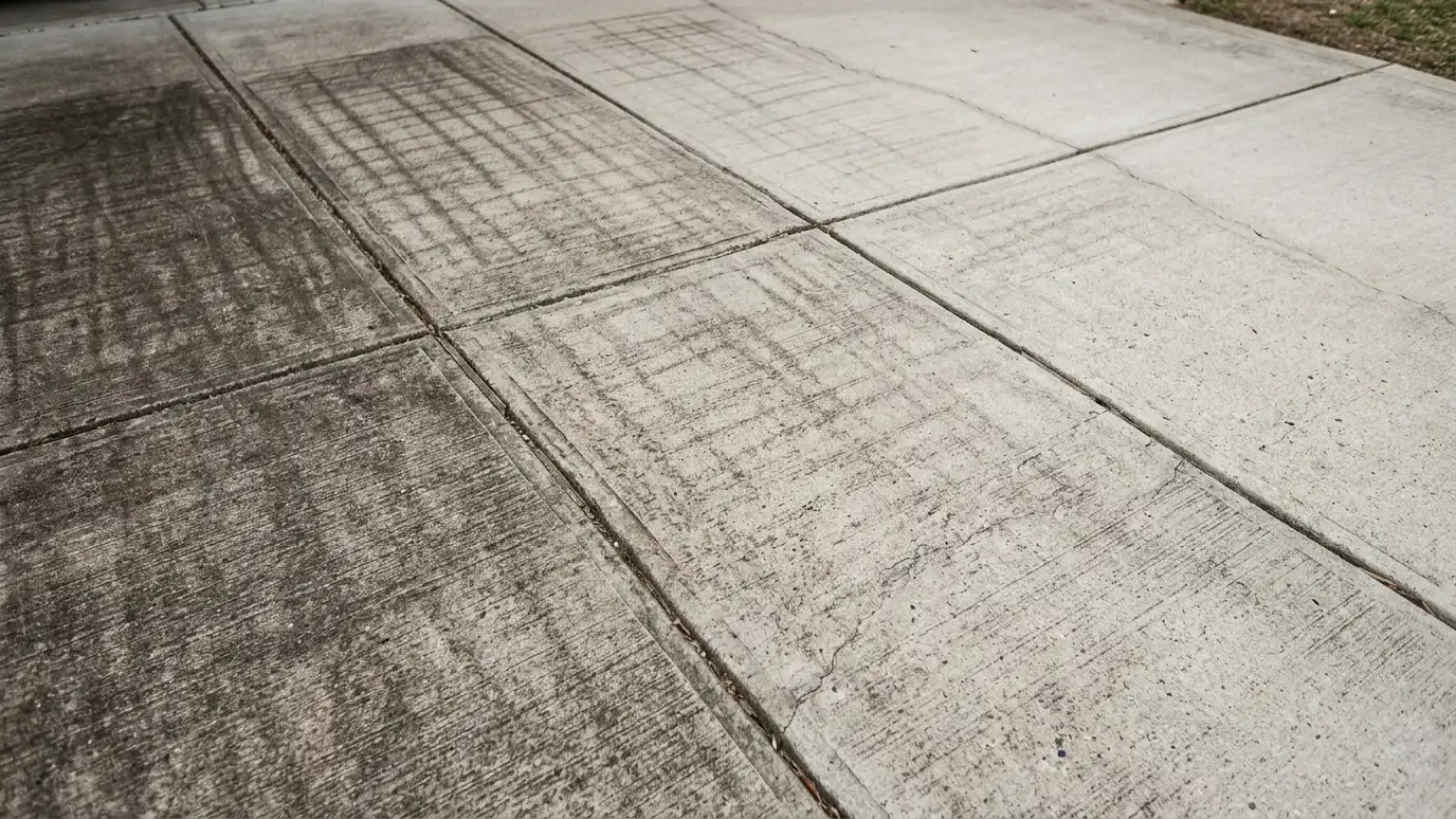 How Often Should I Pressure Wash? CheckerPick a surface, shade and tree cover and the signs you see to learn how soon it likely needs cleaning.Try it
 Pressure Washing Budget PlannerPick a washing, cleaning or sealing job, set the size and add extras to see a ballpark planning range. Placeholder values only.Try it
You can get a rough number from an aerial view, and we confirm on site.
Shaded surfaces stay damp and grow algae and mildew faster.
No. We are an independent pressure washing company, and Google Earth is a trademark of its owner. We work with many products and are glad to use the one you prefer.
 ResourcePWNAA trade association for the pressure and power washing industry that offers education, events and resources for professionals.Learn more ResourceUAMCCAn association for mobile cleaning contractors that shares training, news and business resources for the cleaning trades.Learn more ResourcePressure Washing ResourceAn industry information site with articles, videos and forums for pressure washing and soft washing contractors.Learn more ResourceEPAThe federal environmental agency program that describes how stormwater runoff is managed to protect streams and rivers.Learn more
Call us and describe your property. We will look at the surfaces, talk through options and give you a clear written estimate.