A company that provides frequently updated aerial imagery used for measuring properties and planning work.
Nearmap describes itself as a provider of high-resolution aerial imagery that is updated regularly and used for measuring and planning in construction, insurance and property work. Contractors may use aerial views to measure driveways, roofs and lots before a visit. Owners in Nashville may see aerial measurements on an estimate, where they help explain how an area was calculated.
We are an independent company and are not affiliated with Nearmap. We may use several tools to measure properties and we confirm key measurements on site, because trees, additions and recent changes can affect aerial views. If you receive an estimate that cites aerial measurements, ask what they show and whether the contractor checked them in person.
Visit the official Nearmap website
Overhead views of properties.
Helps estimate lot and surface areas.
Newer views of properties.
Used to prepare for visits.
Trees and changes can affect accuracy.
Compare with on-site measurements.
Size an area, check a schedule or ballpark a budget.
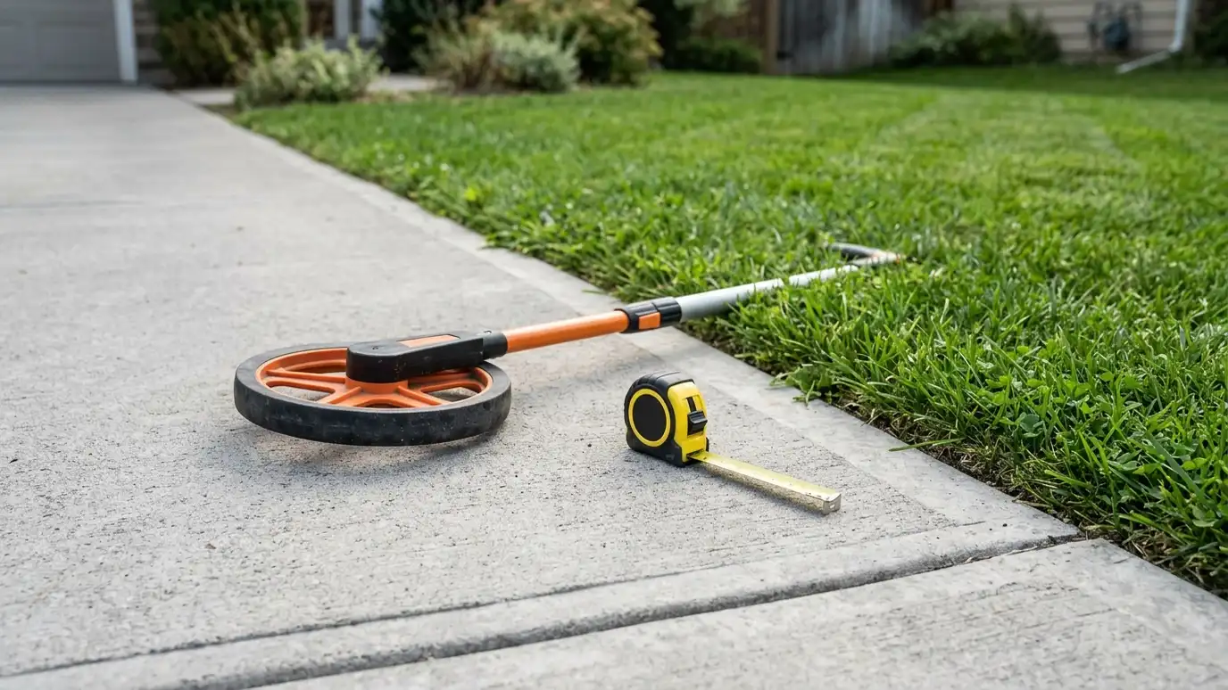 Pressure Washing Area and Materials CalculatorEnter your measurements to see area, water, solution, sealer and time to plan for houses, flatwork, decks, fences and roofs.Try it
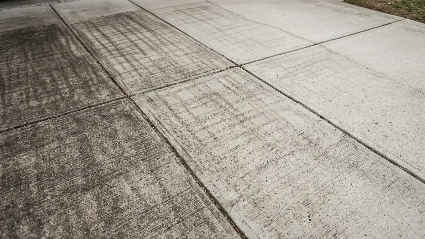 How Often Should I Pressure Wash? CheckerPick a surface, shade and tree cover and the signs you see to learn how soon it likely needs cleaning.Try it
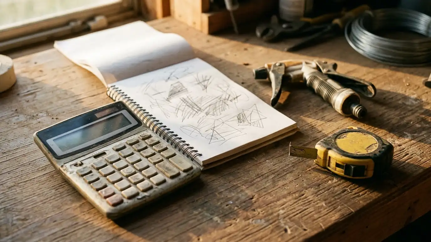 Pressure Washing Budget PlannerPick a washing, cleaning or sealing job, set the size and add extras to see a ballpark planning range. Placeholder values only.Try it
They are useful, and we confirm key measurements on site.
Not always. Many properties are measured in person.
No. We are an independent pressure washing company, and Nearmap is a trademark of its owner. We work with many products and are glad to use the one you prefer.
 ResourcePWNAA trade association for the pressure and power washing industry that offers education, events and resources for professionals.Learn more ResourceUAMCCAn association for mobile cleaning contractors that shares training, news and business resources for the cleaning trades.Learn more ResourcePressure Washing ResourceAn industry information site with articles, videos and forums for pressure washing and soft washing contractors.Learn more ResourceEPAThe federal environmental agency program that describes how stormwater runoff is managed to protect streams and rivers.Learn more
Call us and describe your property. We will look at the surfaces, talk through options and give you a clear written estimate.